



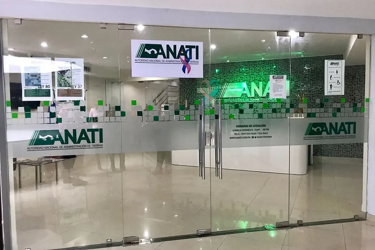
Panama will overhaul its outdated land registry system using a $60 million loan from the World Bank, a move officials say will accelerate the country’s Panama cadastral modernization effort and unlock stalled infrastructure projects. The National Land Administration Authority (ANATI) announced the financing Wednesday during the XII Annual Conference of the Inter-American Cadastre and Property Registry Network in Panama City.
Only 35 percent of Panamanian territory is properly registered, a gap that has complicated land planning and driven up costs for public works. ANATI Administrator Andrés Fernando Pagés Chanis said the loan uses a “results-based” model, the first of its kind applied in Panama, where disbursements depend on hitting specific milestones.

Results-Based Loan Structure Drives Panama Cadastral Modernization
The financing mechanism marks a departure from traditional lending. Instead of receiving the full amount upfront, ANATI will access funds incrementally as it completes deliverables tied to the project. Pagés described the approach as a product of years of coordination with the World Bank.
“With this we will digitalize and have a multifunctional, interoperable cadastre with the institutions,” Pagés said [Translated from Spanish]. The system will connect data across the Public Registry, the General Directorate of Revenue, and other territorial management bodies.
Coclé Pilot Project Targets 66,000 Hectares
A pilot program in Coclé province is already underway, covering approximately 66,000 hectares. The initiative aims to benefit more than 35,000 residents through land titling and regularization, while also identifying state-owned parcels for schools, sports facilities, and community development projects.
ANATI is also tendering contracts for cadastral sweeps, data integration platforms, and aerial orthophoto surveys. These tools will map rural, urban, and state lands with greater precision than current records allow.
Digital Platform Central to Territorial Reform
The backbone of the reform is the Cadastral Integration System (SICAR), a centralized platform designed to consolidate all territorial information nationwide. The project includes digitizing existing plans, unifying databases, and enabling interoperability among ANATI’s regional offices.
Pagés said structural results could emerge within 18 months of implementing the central system, though the loan carries a six-year term. The ultimate goal is a fully digital, transparent, and accessible cadastre that strengthens legal certainty and attracts private investment.
The regional conference, which runs through Friday, brings together officials and multilateral representatives from across the Americas to discuss digital transformation, investment promotion, and territorial governance challenges.