


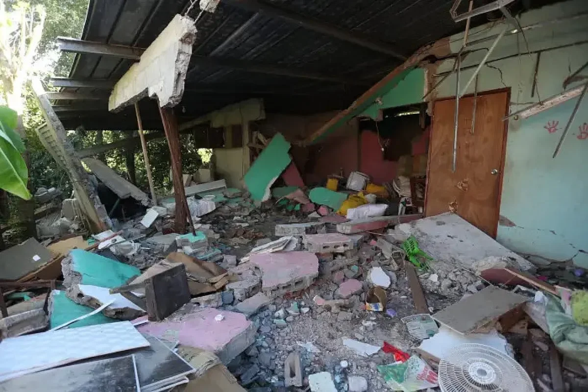
Panama has entered the second phase of housing recovery following the October 9 earthquake, with roughly 50 public sector engineers now conducting detailed structural evaluations supported by digital QR code tracking. The initiative, financed by the United States government through its embassy in Panama, aims to classify damaged homes and guide reconstruction funding decisions.
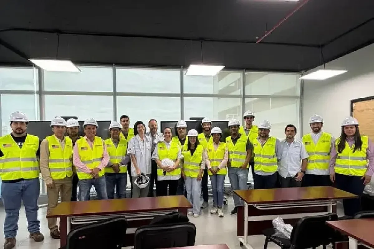
The technical deployment follows a four-day intensive training program led by global engineering firm Miyamoto International between October 26 and 29. Engineers are now working in the field seven days a week, inspecting homes door to door to measure structural damage, estimate repair materials, and issue rehabilitation directives.
With U.S. support, Miyamoto International trained about 50 Panamanian engineers to assess earthquake-affected homes. With support from the American people through the U.S. Department of State and the U.S. Embassy in Panama 🇺🇸🇵🇦 #PanamaEarthquake https://t.co/6Gxw7MZ4aP
— Miyamoto International (@miyamotointl) November 7, 2026
How the Post Earthquake Assessment System Works
Each evaluated residence receives a physical QR code linked to a unique property identifier. Government personnel with validation credentials can scan these codes to access digital technical information for each structure, accelerating decision-making and ensuring process transparency. The system builds on more than 12,500 preliminary safety triage inspections previously completed by SINAPROC, Panama’s civil protection agency.
The detailed evaluations categorize properties into three tiers. Homes are classified as undamaged, repairable in the short or medium term, or structurally irreparable. This classification framework provides the foundation for determining what assistance affected families receive and how reconstruction budgets are allocated.
Five-Phase Recovery Plan and Current Status
Panama’s comprehensive housing emergency plan operates across five stages. The current field inspections represent Phase 2, transitioning from rapid safety assessments to detailed technical analysis. The initial triage phase used a color-coded system of green, yellow, and red to quickly identify which structures posed immediate safety risks.
Once the current deployment concludes, Miyamoto International will deliver a technical repairability assessment report. Government entities will use this document to define the scope, methodology, and budget allocation for social assistance programs and home rehabilitation efforts. The timing of this report remains dependent on field inspection completion rates.
Miyamoto’s Global Earthquake Response Record
Miyamoto International brings substantial seismic disaster experience to Panama. The firm has responded to more than 100 earthquake events worldwide over the past three decades. Its track record includes evaluating over 700,000 damaged buildings and supporting the reconstruction of more than 50,000 structures globally.
The company’s involvement in Panama reflects a broader pattern of international technical cooperation following major seismic events. The US government’s disaster response team coordinated the funding and logistics for the training component, underscoring bilateral cooperation on emergency management infrastructure.
Regional Seismic Context and Ongoing Monitoring
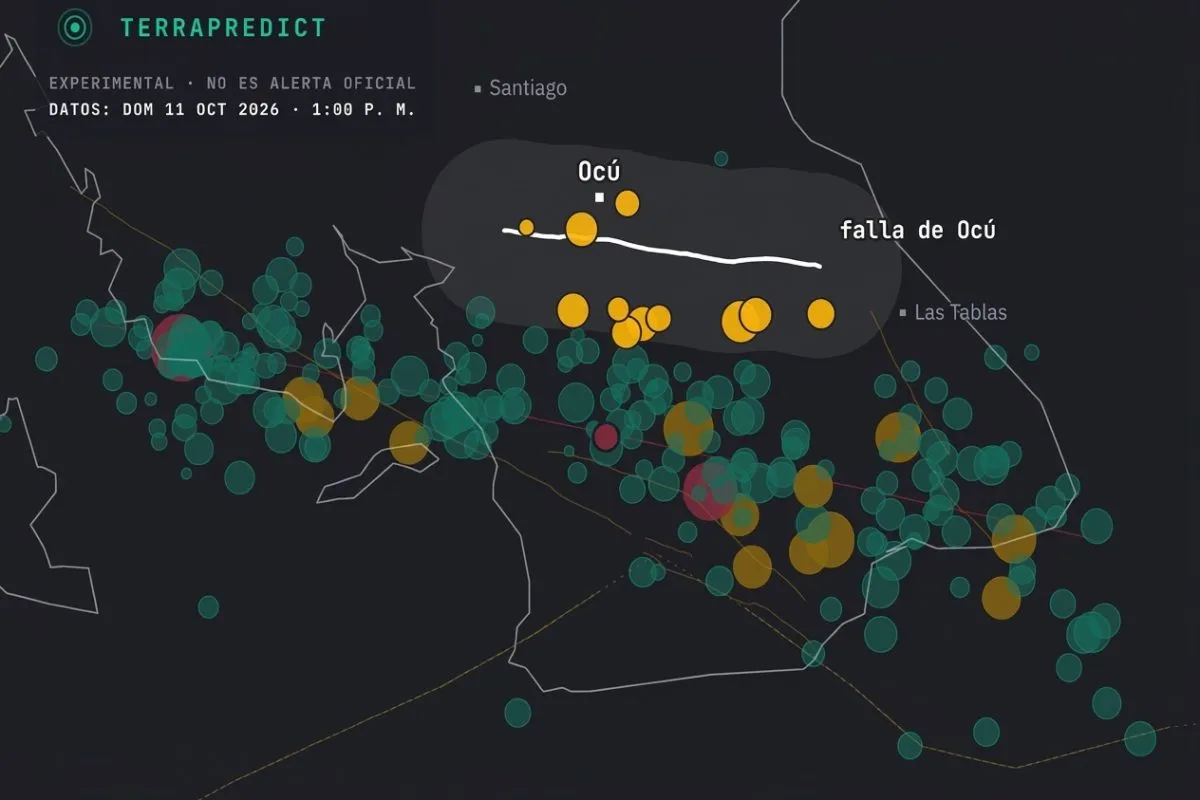
The October 9 earthquake originated from the Azuero-Soná fault system, which has generated 1,452 aftershocks following the magnitude 7.5 main event. Geosciences monitoring has also recorded separate seismic activity, including a magnitude 5.0 tremor east of Tonosí and a 3.9 event linked to the Pedro Miguel fault. These ongoing seismic events reinforce the urgency of completing structural evaluations before additional shaking potentially worsens existing damage.
The QR code system also addresses a critical challenge in disaster response. Physical documentation can be lost or damaged in affected areas, while digital records linked to fixed property identifiers create a durable audit trail. This approach allows multiple government agencies to access consistent information about each property, reducing duplication and conflicting assessments that often complicate large-scale recovery operations.