


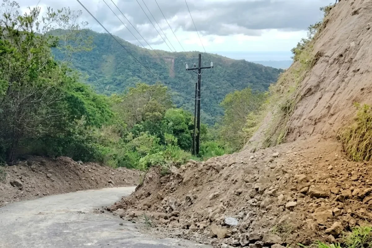
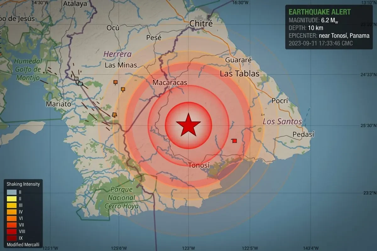
A month after the magnitude 7.5 earthquake struck Panama’s Azuero Peninsula on October 9, scientists have documented a sharp aftershock activity decrease alongside the mapping of more than 12,000 earthquake-triggered landslides. The University of Panama’s Geosciences Institute reported 1,483 located aftershocks and 12,251 identified landslides in its 18th update on the seismic sequence.
Daily aftershock frequency has fallen from an average of 102 events during the first week to just 21 in the most recent week, a reduction of nearly 80 percent. In the final 24 hours of the reporting period, only 25 aftershocks were located, two of which registered magnitudes at or above 4.0.
Aftershock Activity Decrease Confirms Stabilizing Trend
The seismic sequence continues to show a consistent downward trajectory, according to the institute’s monitoring data. The most recent aftershock of magnitude 5 or greater occurred on November 6, bringing the monthly total of such events to 64.
Despite the declining frequency, the cumulative aftershock count keeps rising. Specialists are manually locating numerous events that the automatic detection system initially missed, meaning the actual number of recorded movements exceeds the current tally. The institute clarified that this manual processing accounts for the continued increase in total aftershock numbers even as daily activity diminishes.

Satellite Mapping Reveals 12,251 Landslides Across Affected Zones
Using Copernicus Sentinel-2 satellite imagery captured between September 8 and November 4, researchers identified 12,251 landslides associated with the earthquake. Of these, 6,086 sit within the epicentral zone. The figure marks a significant jump from the previous report’s count of 9,553 landslides.
The institute emphasized that this increase does not indicate new ground movements. Rather, it reflects the processing of additional satellite images and more detailed interpretation of existing data. The densest landslide concentrations appear in the epicentral area between Torio, La Cabuya, and Los Planes, as well as along the fault trace. A second major cluster emerged in western Veraguas province near Pixvae and Río Grande.
Preliminary analysis shows landslides concentrated primarily on slopes classified as steep to very steep. Field verification of these satellite-identified slides remains a priority, along with assessing slopes that continue to show instability.

Field Verification and Watershed Monitoring Next Steps
Geosciences Institute teams will conduct on-the-ground verification of mapped landslides and evaluate unstable hillsides. Additional satellite imagery processing will address sectors previously obscured by cloud cover during earlier observations.
Watershed monitoring in areas with high landslide concentrations will proceed in coordination with Panama’s National Civil Protection System, known as Sinaproc. Officials flagged the potential for rivers and streams in these basins to transport large volumes of sediment, posing ongoing risks to downstream communities.
The institute reiterated that its landslide mapping remains preliminary and subject to revision as interpretation and field verification continue. Residents in affected areas are urged to follow Sinaproc guidance and monitor official communication channels for safety updates while assessments progress.