


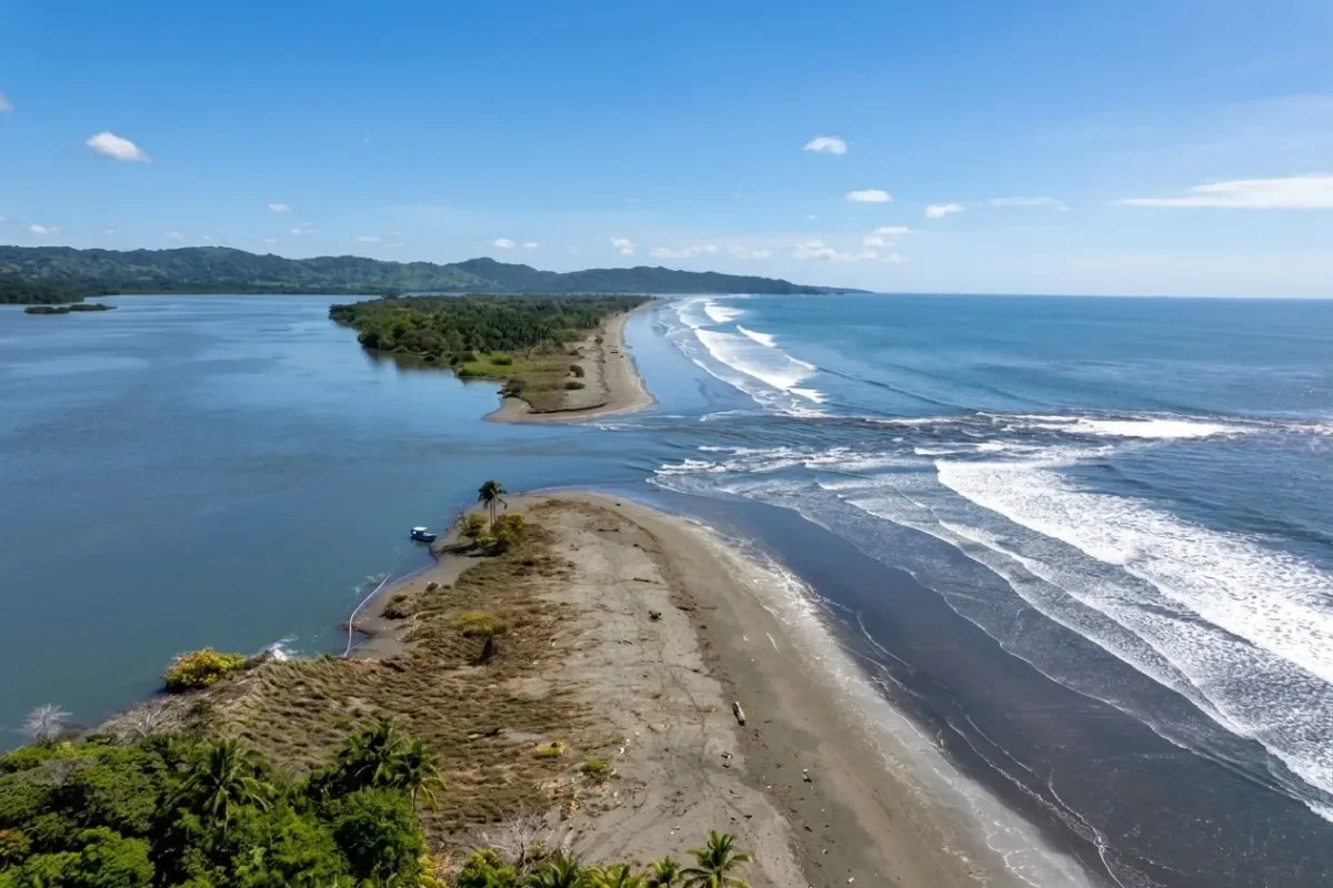
Preliminary field measurements show that a magnitude 7.5 earthquake caused portions of Isla Cañas to sink between 15 and 30 centimeters, offering the first concrete picture of how the seismic event reshaped Panama’s earthquake geography impact along the Azuero Peninsula and Veraguas coast. The data comes from Isaac Guerra Araúz, a Panamanian doctoral fellow with the National Secretariat for Science, Technology and Innovation (Senacyt), who returned to Panama after the quake to document surface ruptures and ground deformation.
Guerra Araúz conducted measurements in Búcaro, La Pitaloza, and Mariato over recent weeks, focusing on horizontal and vertical displacement along fault rupture zones. His work aims to reconcile direct field observations with existing seismic source models.
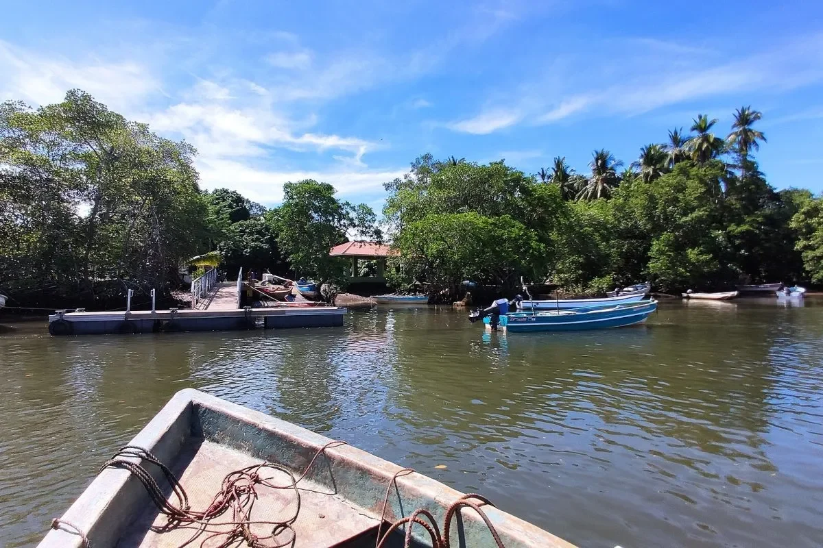
Fault Rupture and Coastal Subsidence Measurements on CIsla Cañas
The researcher found that in Búcaro the ground shifted horizontally between 1 meter and 1.20 meters, with vertical displacement of approximately 1 meter. The subsidence recorded at Isla Cañas represents a separate but effect, likely tied to deformation of the seafloor that may have contributed to wave generation during the event.
Senacyt said the findings will be published in an international scientific journal and in a public report accessible to the general population. The earthquake geography impact extends beyond the immediate coastline, with damage assessments also carried out in Soná, Aguadulce, Penonomé, and Atalaya.
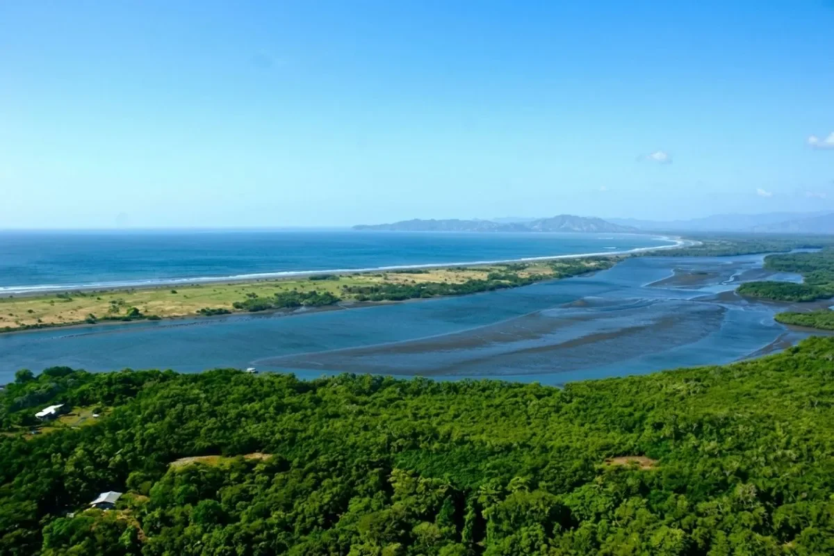
Isla Cañas Quake Aftermath: Integrating Field Data With Seismic Models
Guerra Araúz emphasized that understanding how faults behave requires combining what researchers observe on the ground with seismic models and damage records. He noted that the distribution of earthquake effects depends on this integration, which helps explain why some communities experienced more severe ground movement than others.
“Our research does not end when the shaking stops. It continues in the field, collecting data that helps us understand these phenomena better and prepare for future earthquakes” [Translated from Spanish]
The study incorporates additional data from Dr. Luis Pinzón, a doctor in Seismic Engineering and Structural Dynamics and former Senacyt fellow, covering Aguadulce, Penonomé, and Atalaya. This broader dataset allows researchers to map how the earthquake’s effects radiated from the rupture zone into inland communities.
Scientific Publication and Community Preparedness
The preliminary results mark an important step for Panama’s seismic hazard assessment capabilities. By documenting exactly how much the ground moved and sank, scientists can refine predictive models for future events along the same fault system. The public report will make these findings accessible beyond academic circles.
Guerra Araúz has also conducted damage evaluations across Azuero and Soná, building a comprehensive picture of structural vulnerability in the affected region. The combination of geophysical measurements and engineering assessments provides a foundation for updated building codes and evacuation planning in coastal communities like Isla Cañas, where residents were forced to evacuate following the earthquake and subsequent disruptions.