


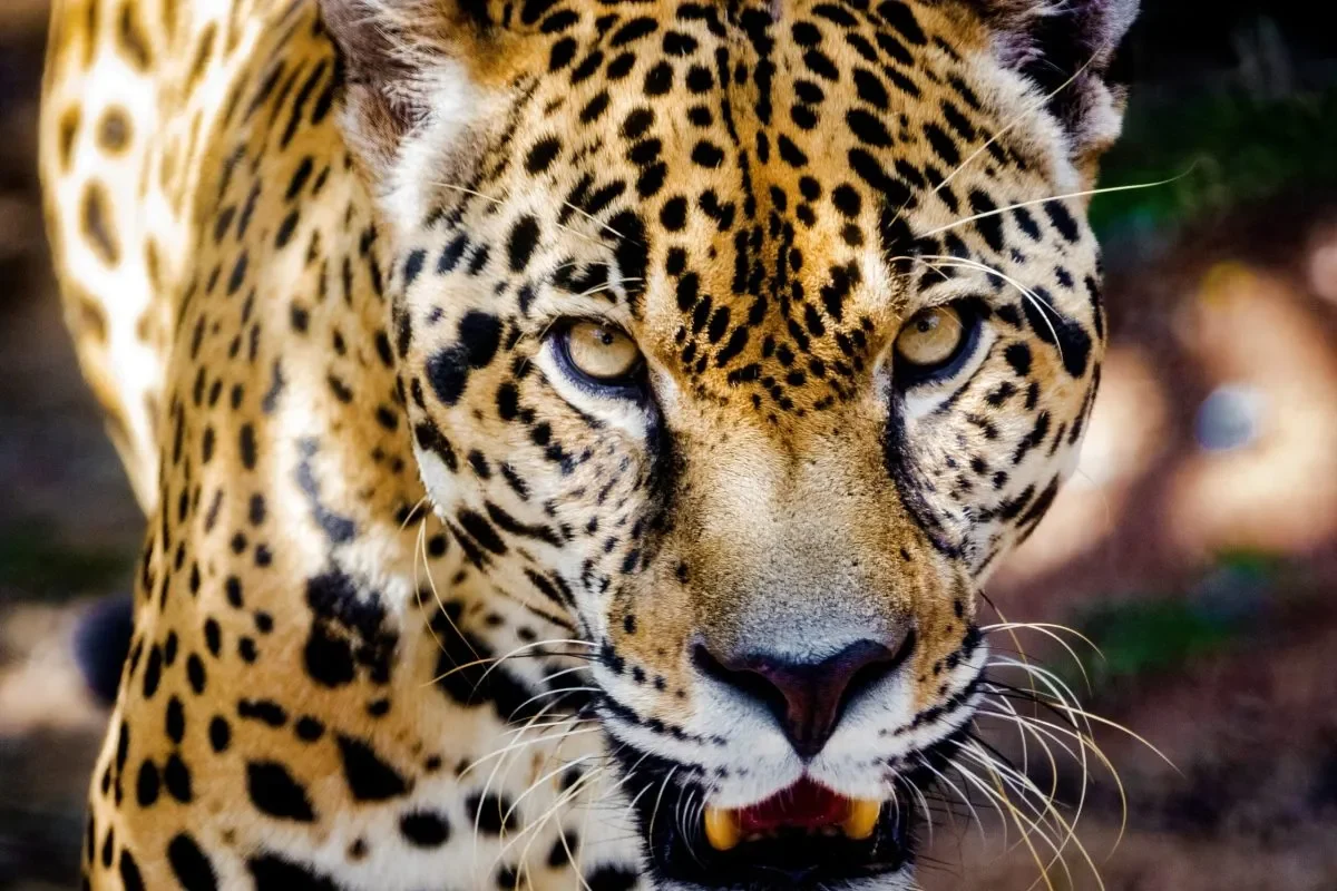
Panama will extend its national jaguar census Panama monitoring program into the country’s western region starting in 2027, targeting areas within La Amistad International Park and Volcán Barú National Park. The expansion represents the second phase of the National Jaguar and Terrestrial Mammal Census, designed to map distribution patterns and identify biological corridors used by these predators.
Ricardo Moreno, president of the Yaguará Panamá Foundation, confirmed the new phase will reach sectors of Chiriquí province that were excluded from the initial study. The project is being coordinated through the GEF-7 Jaguares Panamá initiative, with field operations scheduled to begin in 2027.
Baseline Data from Initial Jaguar Census Panama Phase
The first phase of the census estimated approximately 270 jaguars across 38 percent of Panama’s national territory. Researchers covered roughly 2.87 million hectares in eastern Panama, deploying 794 camera traps across more than 30 expeditions and analyzing 87,644 wildlife records.
Camera traps remain the primary tool for documenting jaguar presence, along with pumas and other terrestrial mammals. The devices capture movement data and reveal which ecosystems these animals depend on for survival. The western expansion will add critical data from Chiriquí’s highland forests, where jaguar activity has been historically understudied.

Initial Jaguar Census Panama Phase: Key Baseline Findings
Camera traps remain the primary tool for documenting jaguar presence. The western expansion will add critical data from Chiriquí’s highland forests, where jaguar activity has been historically understudied.
Source: Initial Jaguar Census Panama Phase
Road Mortality and Habitat Fragmentation Risks
During a conservation planning meeting led by the Ministry of Environment, producers, specialists, and community representatives identified habitat fragmentation as a principal threat to wildlife. Specific hotspots include sectors of Fortuna, Gualaca, and the road toward Boquete, where reports of animals struck by vehicles have accumulated.
Data gathered from camera traps can help authorities pinpoint the exact corridors wildlife use and determine where road signage or wildlife crossings are most urgently needed. The information feeds directly into the Jaguar Conservation Plan, which seeks to reduce collisions and preserve connectivity between forest patches.

Community Coexistence and Economic Opportunities
Agricultural producers in Chiriquí reported maintaining forested areas within their farms, and attitudes toward jaguars have shifted noticeably over recent years. Residents of Fortuna said that while jaguar and puma sightings occur, livestock predation incidents have been limited and mostly took place several years ago.
Local participants noted that abundant natural prey and preserved forest cover contribute to peaceful coexistence between wildlife and productive activities. Beyond ecological value, communities see potential in nature tourism, scientific research, and conservation-linked ventures. The 2027 census expansion will provide the data needed to guide those opportunities while addressing conflict zones before they escalate.
