


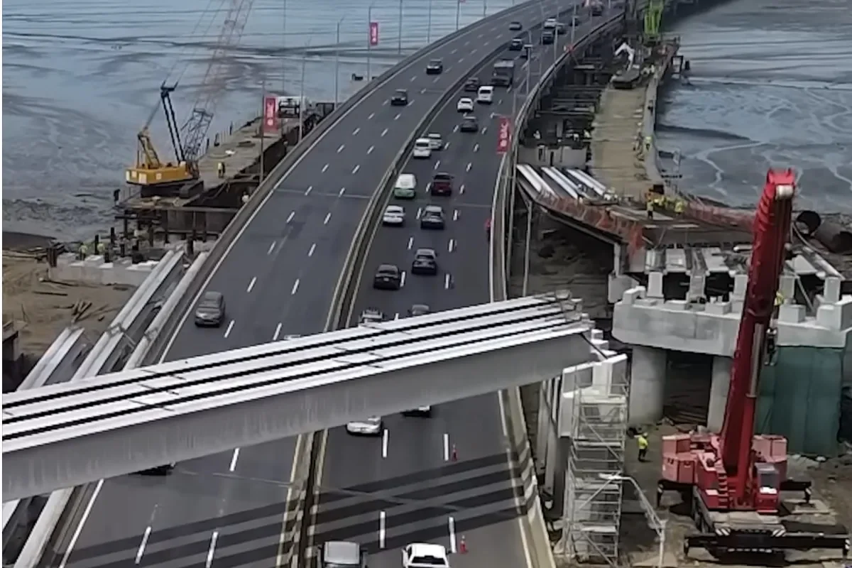
Drivers who inch through the Southern Corridor between Atlapa and Costa del Este at rush hour already know the routine of brake lights, exhaust and lost time. A $300 million overhaul now seeks to remove the toll plazas, widen the marine viaduct and add capacity along 17 kilometers of one of Panama City’s most important east-west arteries. ENA Sur, S.A. submitted a Category II Environmental Impact Assessment to the Ministry of Environment, outlining a project that will reshape bridges, interchanges and the highway’s entire toll collection model.
📑 Table of Contents
Why the Southern Corridor Demands a Full Redesign
The existing highway can no longer absorb the daily pressure generated by urban growth in Costa del Este, Juan Díaz, Don Bosco and Tocumen. Congestion peaks during morning and evening rush hours, with the heaviest bottlenecks concentrated between Atlapa and Costa del Este and on the exit toward Tocumen International Airport. The environmental study points directly to the expansion of these neighborhoods and the rising traffic volumes as central reasons for the intervention.
“The intervention responds to the growth of traffic and the urban expansion of sectors such as Costa del Este, Juan Díaz, Don Bosco and Tocumen” [Translated from Spanish]
Beyond the daily commuting pain, the Southern Corridor serves as the main road connection to Tocumen International Airport, which makes its reliability critical for passengers, cargo and the broader logistics chain. Airport-bound traffic often shares lanes with commuters from the eastern suburbs, creating a mix of local and regional trips that the current design struggles to handle. The project’s promoters expect the new configuration to reduce stop-and-go conditions and improve travel time consistency.
From Toll Booths to Free Flow Collection
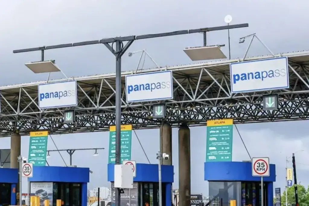
a key visible changes will be the disappearance of the physical toll booths that currently force drivers to stop, queue and then accelerate back onto the highway. In their place, the plan calls for an electronic Free Flow system that allows vehicles to pass through collection points without stopping. This change targets the queues and the braking and acceleration maneuvers that contribute to congestion and additional emissions near the toll plazas.
The number of lanes will not be uniform along the entire 17-kilometer corridor. Between the marine section from Atlapa to Costa del Este, the design includes four lanes toward Paitilla and three toward Tocumen. From Costa del Este to Tocumen, the highway will have three lanes in each direction, with extra lanes added at certain points for merging, exits and lane changes. In Costa del Este, the platform reaches four lanes per direction, and some sectors of Ciudad Radial will expand to five lanes.
This lane configuration responds to the varying traffic loads along different segments. For instance, the marine viaduct handles a dense mix of airport traffic and commuters from the eastern residential areas, while the section near Ciudad Radial must manage numerous local access points. The project also includes new ramps, acceleration lanes and deceleration lanes, along with changes to the Hipódromo interchange to smooth the flow of vehicles entering and leaving the highway.
The Marine Viaduct and Geotechnical Challenges
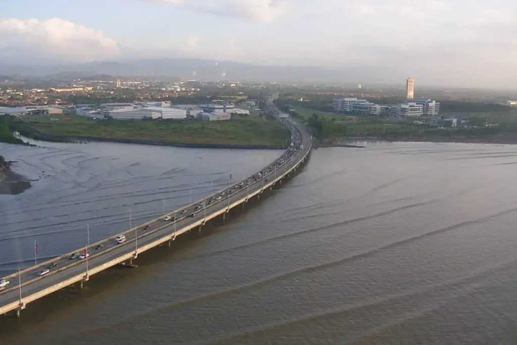
Among the most technically demanding components is the widening of the existing marine viaduct between stations 14+960 and 17+350, a stretch of approximately 2.39 kilometers. The environmental study identifies this segment, located between Atlapa and Costa del Este, as one of the greatest challenges of the whole project. Engineers must contend with soft sediments, high hydraulic dynamics, low bearing capacity, high compressibility and a shallow water table.
The marine environment adds complexity because any construction activity can disturb the seabed and increase turbidity in the water column. The current marine segment already shows high turbidity and low dissolved oxygen levels, according to the study. Construction equipment, pile driving and the movement of materials will require careful management to limit additional damage to the coastal ecosystem.
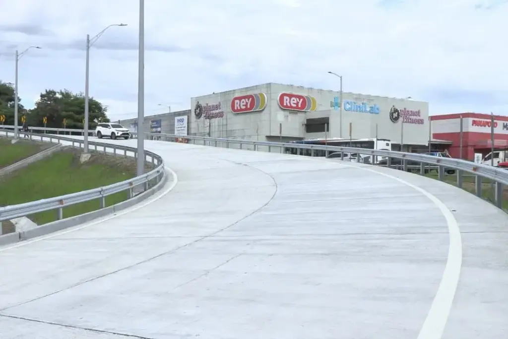
The works also include the widening and rehabilitation of coastal crossings between Punta Pacífica and Atlapa, as well as an elevated viaduct at the Rama 43 interchange in Atlapa. That new structure will channel traffic coming from Vía Cincuentenario toward Punta Pacífica and Paitilla, reducing the need for complex weaving movements at one of the corridor’s busiest junctions.
Bridges, Interchanges and New Connections Across 17 Kilometers
The project goes far beyond the marine section. The bridge over the Juan Díaz River will be widened by approximately 9.70 meters in the direction of Tocumen, allowing the structure to accommodate five lanes, including one for vehicles joining from La Arenera. This expansion addresses a long-standing bottleneck where local traffic merges with highway traffic near the river crossing.
Other structures will also receive significant work. The Metro Park and Astillero structures are earmarked for intervention, along with the bridges over the Matías Hernández River and the Gallinaza or Mañanitas Creek. In Ciudad Radial, one of the toll plazas will be eliminated to permit continuous circulation, a change that complements the broader shift to Free Flow tolling.
Most of the construction will take place within public right-of-way, although some private properties could be affected. The environmental study notes that the project footprint may touch certain parcels, which will likely require negotiations or expropriation procedures under Panamanian law. The detailed land acquisition plan will be critical for keeping the construction timeline on track.
Mangroves, Water Quality and Environmental Trade-offs
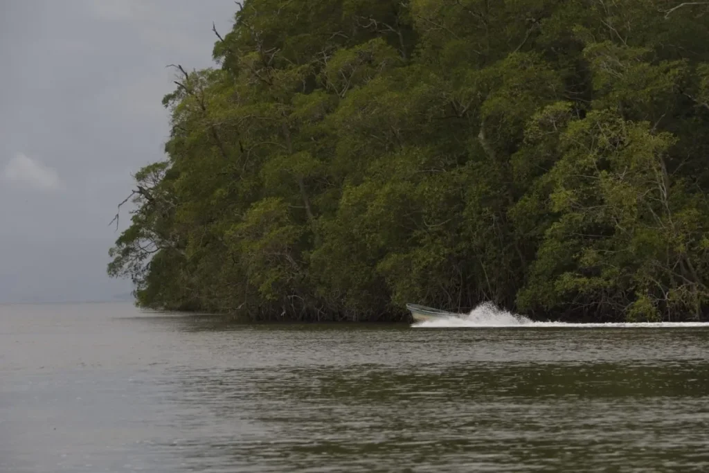
Although the Southern Corridor runs through a heavily urbanized environment, the environmental study highlights the marine-coastal sector as a key sensitive areas. Fragments of mangroves, estuaries and intertidal flats remain in zones like Juan Díaz. These ecosystems protect the coastline, retain sediments and support biodiversity, making them valuable despite their reduced size in the urban matrix.
The assessment also documents existing water quality problems. Some water bodies already show low levels of dissolved oxygen, suspended solids and elevated nutrient concentrations. The marine segment has high turbidity and low oxygen levels, suggesting that the ecosystem is already under pressure from urban runoff and other sources. Construction activities could worsen these conditions if not carefully controlled.
“In some water bodies, low levels of dissolved oxygen, suspended solids and elevated nutrient concentrations are recorded” [Translated from Spanish]
The environmental impact study identified 38 environmental and socioeconomic impacts in total, including 30 negative and eight positive. Negative impacts are expected mainly during the construction phase and relate to earth movement, machinery use, intervention in bodies of water, emissions, noise, vibrations and marine works. Increased turbidity and alteration of the seabed could affect marine life in the vicinity of the viaduct widening.
On the positive side, the project offers benefits that extend beyond faster commutes. Eliminating toll booths and reducing stop-and-go traffic can lower vehicle emissions in the corridor. Improved drainage systems and upgraded infrastructure may also reduce some of the flooding and water quality problems that currently affect adjacent neighborhoods. The eight positive impacts likely include smoother traffic flow, better road safety and more reliable access to the airport.
What the Overhaul Means for Eastern Panama City
The scale of the project reflects the transformation of eastern Panama City over the past two decades. What was once a corridor serving intermittent traffic is now a critical lifeline for tens of thousands of daily users. The expansion of residential communities and commercial centers in Costa del Este, Juan Díaz and Don Bosco has outpaced the original infrastructure design. The Southern Corridor must now function as both a commuter route and an airport connector, a dual role that demands a more flexible and robust roadway.
The switch to Free Flow tolling also aligns with global trends in electronic road pricing. Many major cities have moved away from physical toll plazas to reduce congestion and improve safety. Panama’s adoption of this technology on the Southern Corridor could serve as a model for other toll roads in the country, especially if the electronic collection system performs well during peak periods.
The project still requires approval from the Ministry of Environment before construction can begin. Once approved, the construction phase will bring temporary disruptions, including lane closures, noise and dust. But the long-term promise is a highway that moves more vehicles with fewer stops and less friction. For commuters who have spent years sitting in Southern Corridor traffic, that promise carries real weight.
In summary, the proposed overhaul of the Southern Corridor tackles the dual challenge of rising traffic demand and outdated toll infrastructure. By widening key segments, reconfiguring interchanges and replacing toll booths with Free Flow technology, the project aims to restore mobility and reduce the daily frustration of one of Panama City’s most congested roads. The environmental costs will require close oversight, but the current conditions are no longer sustainable for the growing eastern sector of the capital.